Steep Slope (40%+)
ClearNo mapped 40%+ slope on this parcel. Adjacent slopes may still trigger setbacks during permit review.
Site analysis, zoning compliance check, utility study, environmental review, and property record summary for the proposed conversion of a 1949 single-family residence into two rentable units, plus two ~1,000 sf DADUs built in the rear yard.
Single-family residence on a generally level 10,480 sf lot in the Olympic Hills neighborhood of north Seattle.
Olympic Hills, north Seattle. Drag the map to explore the block.
Increase the site from one rental unit to four — two units inside the existing footprint, two new detached units in the rear yard.
Per IRC R310, every basement sleeping room must have an emergency egress window: min 5.7 sf net openable, 24″ height, 20″ width, and sill no higher than 44″ above floor. Two current basement rooms have glass-block / hopper windows that need to be enlarged to egress wells.
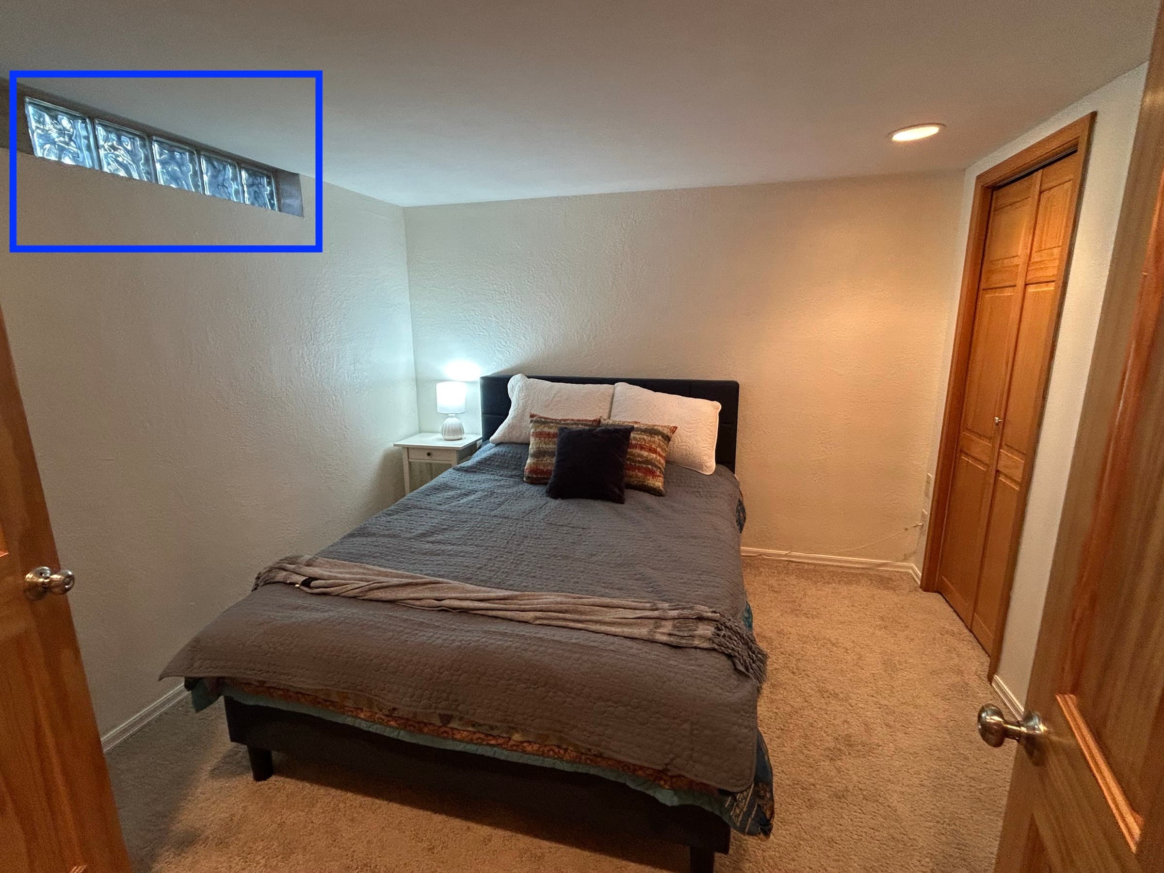
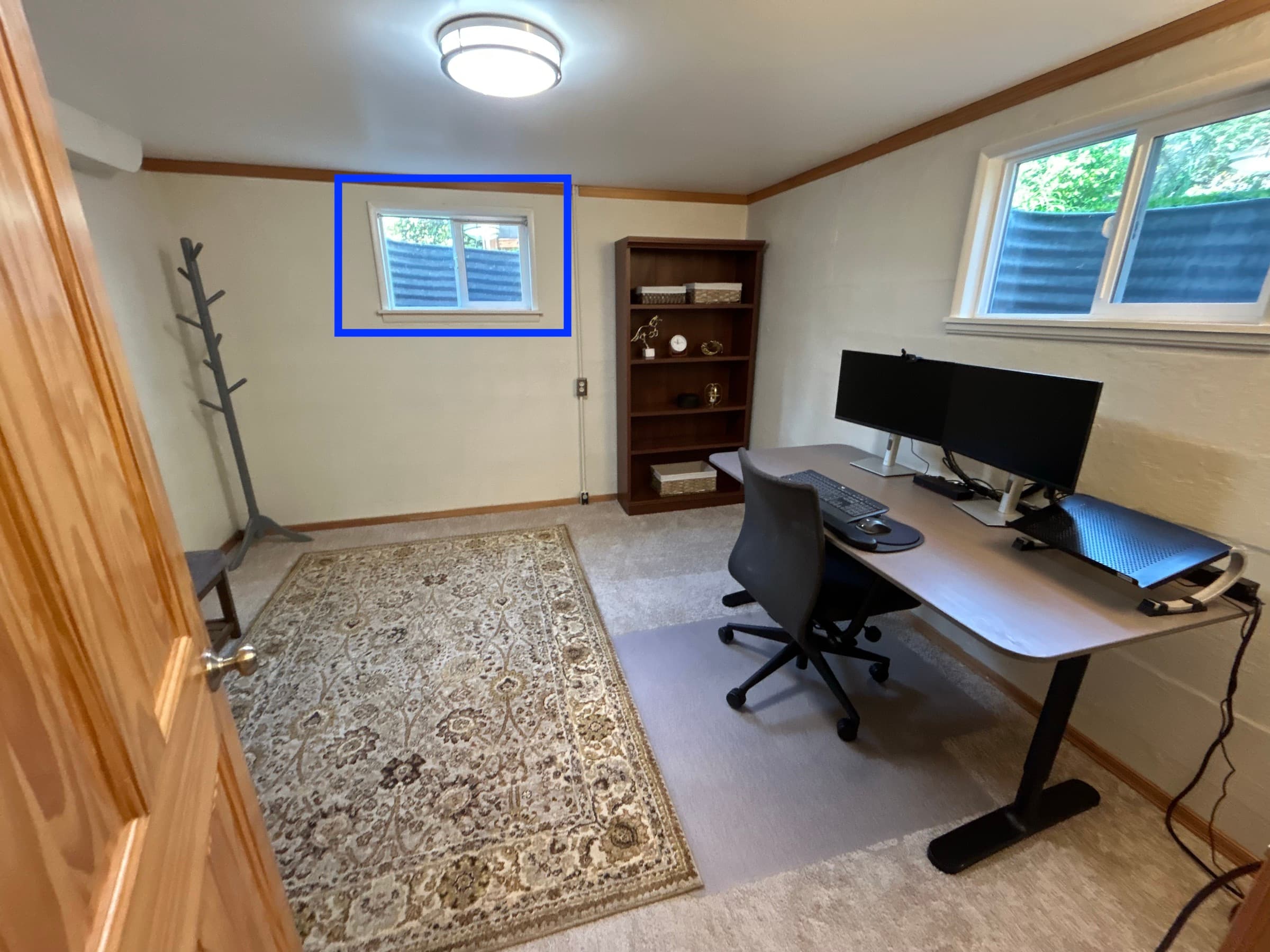
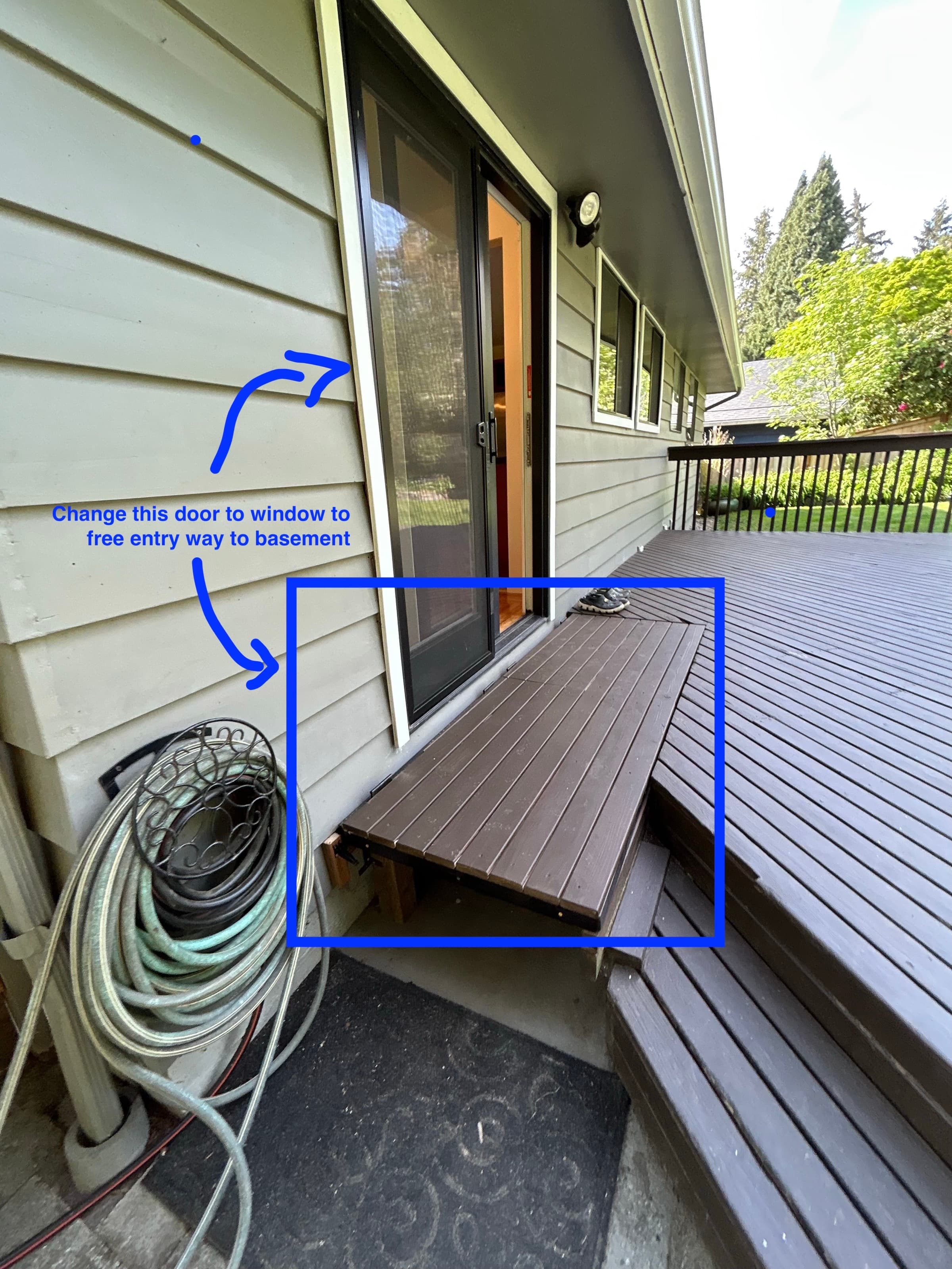
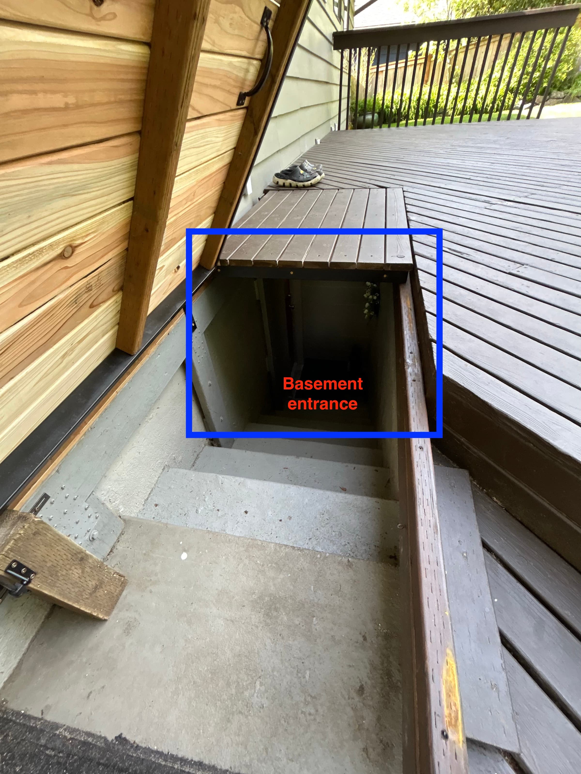
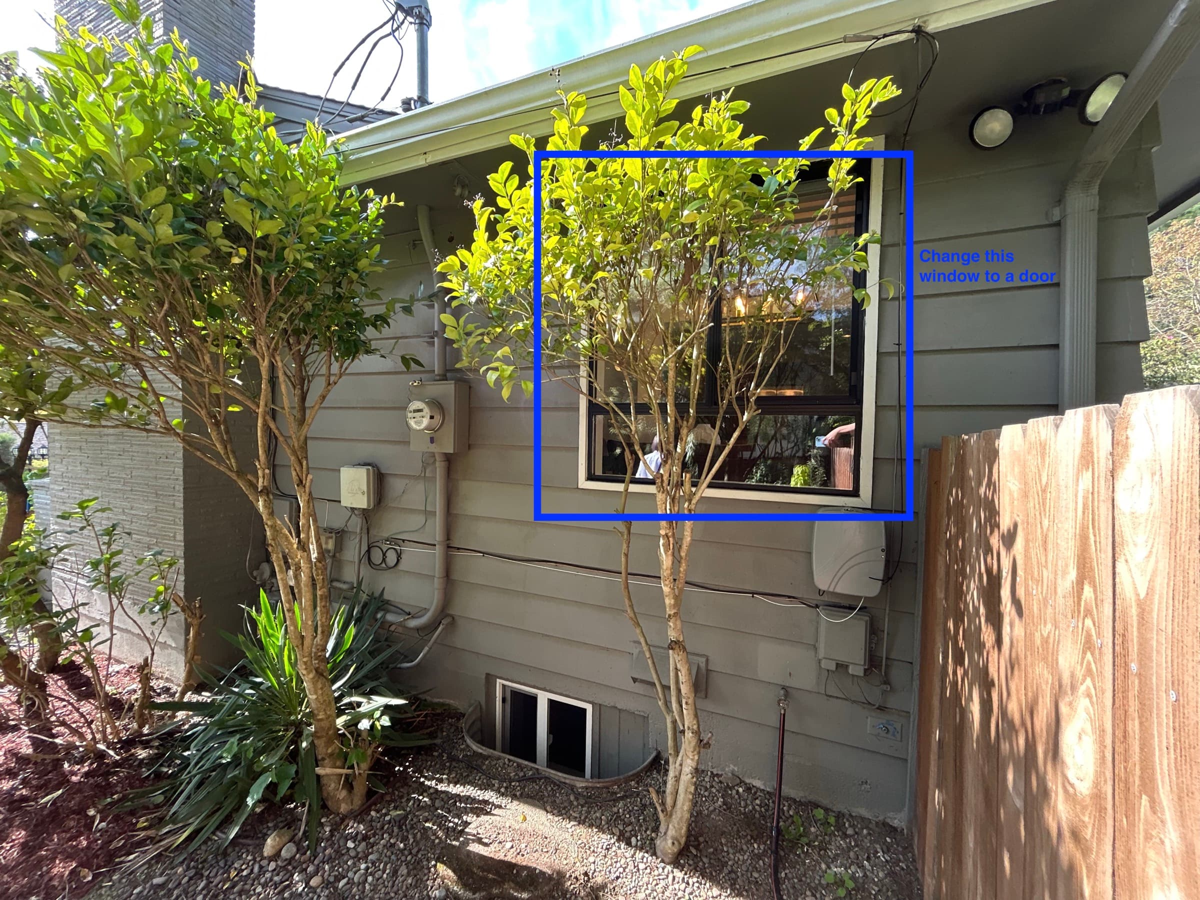
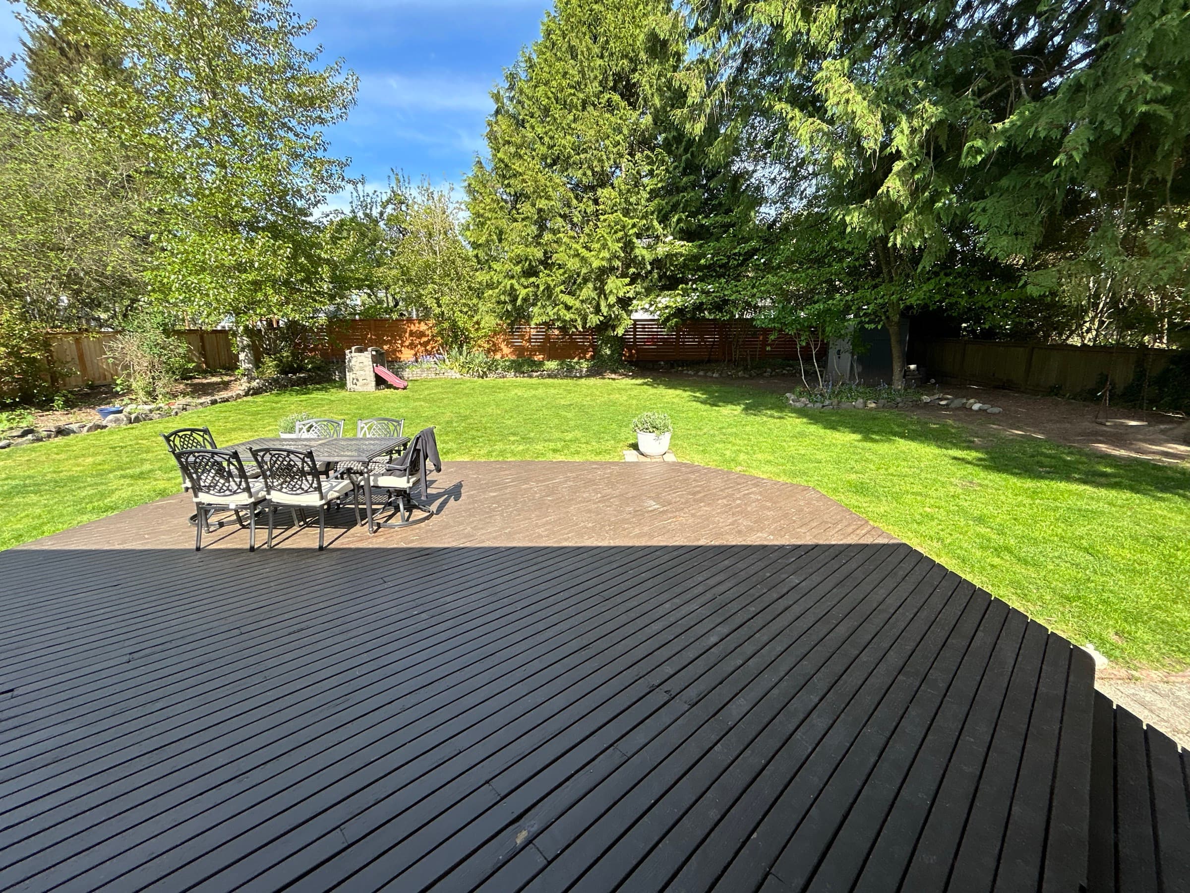
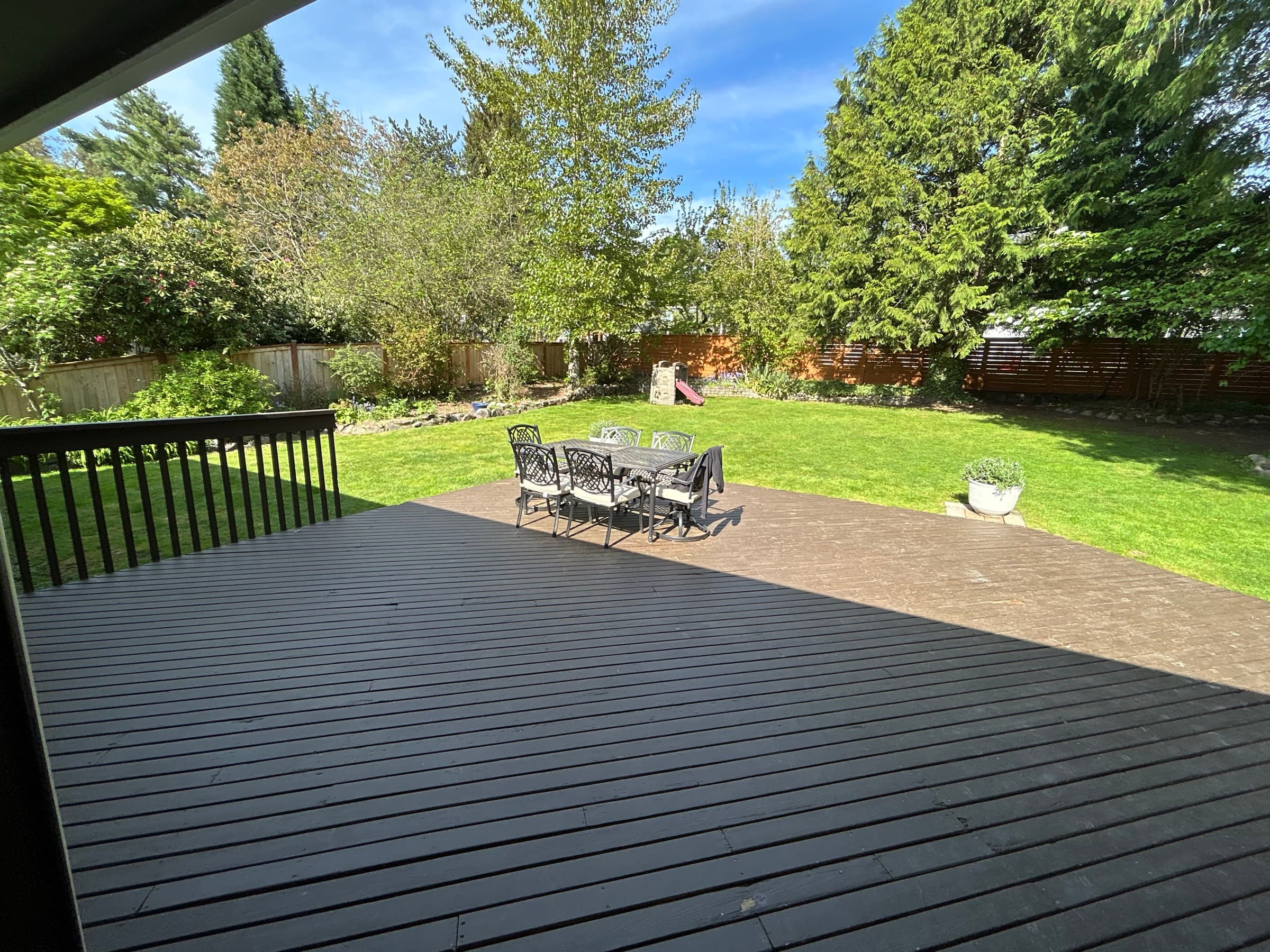
Today the basement has only a bulkhead-style basement entrance, and the upper unit has a sliding back door onto the deck. To give Unit B a real ground-level entry, we'll convert the side window into a new door and convert the upstairs sliding door into a window so the units are properly separated.
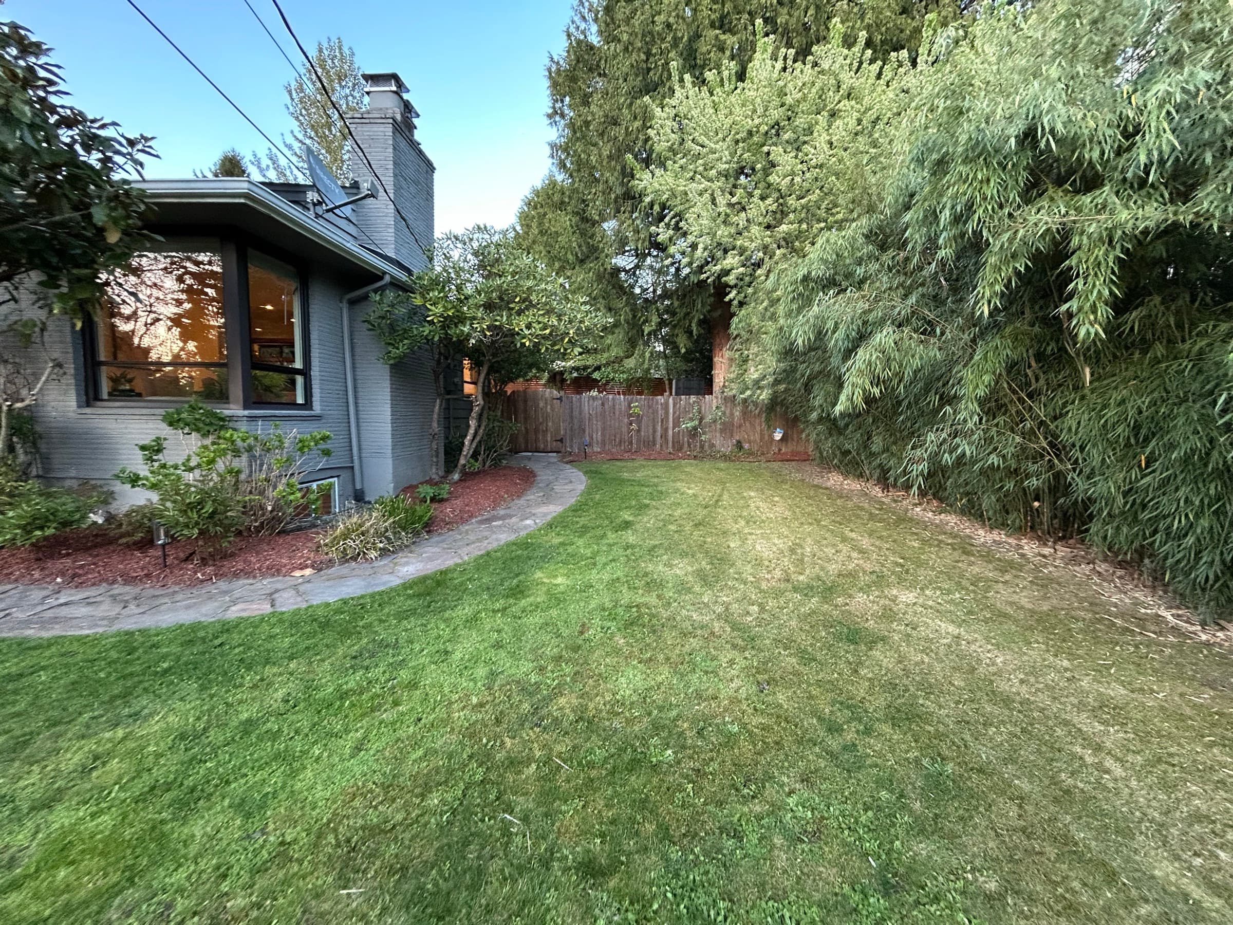
Two roughly identical ~1,000 sf DADUs sited at the rear of the lot. Each has an integral single-car garage facing a new shared driveway extending from the south side of the existing driveway.
The lot is NR2 (Neighborhood Residential 2). As of Seattle's October 2025 ADU update, the NR1/NR2/NR3 designations have been consolidated into a single NR zone with up to 4 units allowed per lot.
Pre-feasibility sanity check, not a formal pre-app review. All numbers should be confirmed with SDCI Pre-Submittal Conference.
Initial assessment of feasibility for connecting two new DADUs to existing utility infrastructure. Map below pulls the live Seattle DSO Water & Sewer Research WebMap, with City Light and SDOT fiber routes layered on top.
Public sanitary sewer in Alton Ave NE per Seattle Public Utilities. Two new DADU laterals can tap to the existing main; SPU side-sewer permit + capacity check required.
Olympic Hills basin has known wet-weather flow; SPU will require a sewer availability certificate. Side-sewer cards on file should be pulled before design.
Served by Seattle Public Utilities. Each DADU needs a separate 3/4" meter (or shared meter w/ submeters). Upsize from existing 5/8" may be required for fire-flow at 3 units total.
Adding ~2,000 sf of impervious roof + driveway extension triggers Stormwater Code (SMC 22.800). On-site infiltration (drywell / dispersion trenches) likely; soils in this part of Olympic Hills tend to be glacial till — infiltration testing required.
Seattle City Light overhead service on Alton. Adding two units will likely need a service upgrade to 200A and separate meters per unit. Underground service to DADUs typical.
Puget Sound Energy gas main in street; existing service to main house. DADUs can be all-electric (heat pump + induction) to avoid new gas runs and align with Seattle's 2024 energy code.
Wave/Astound and CenturyLink/Ziply fiber available on the block. Pulling fiber to each DADU during trenching for power is recommended.
Known boundary, topography, and improvement details on record. A new boundary + topographic survey is recommended before architectural design.
Tree inventory and Environmentally Critical Area (ECA) screen.
8 existing trees on the lot — four mature trees and four mid-size trees, all along the perimeter. One mid-sized tree sits slightly further in and is the only planned removal.
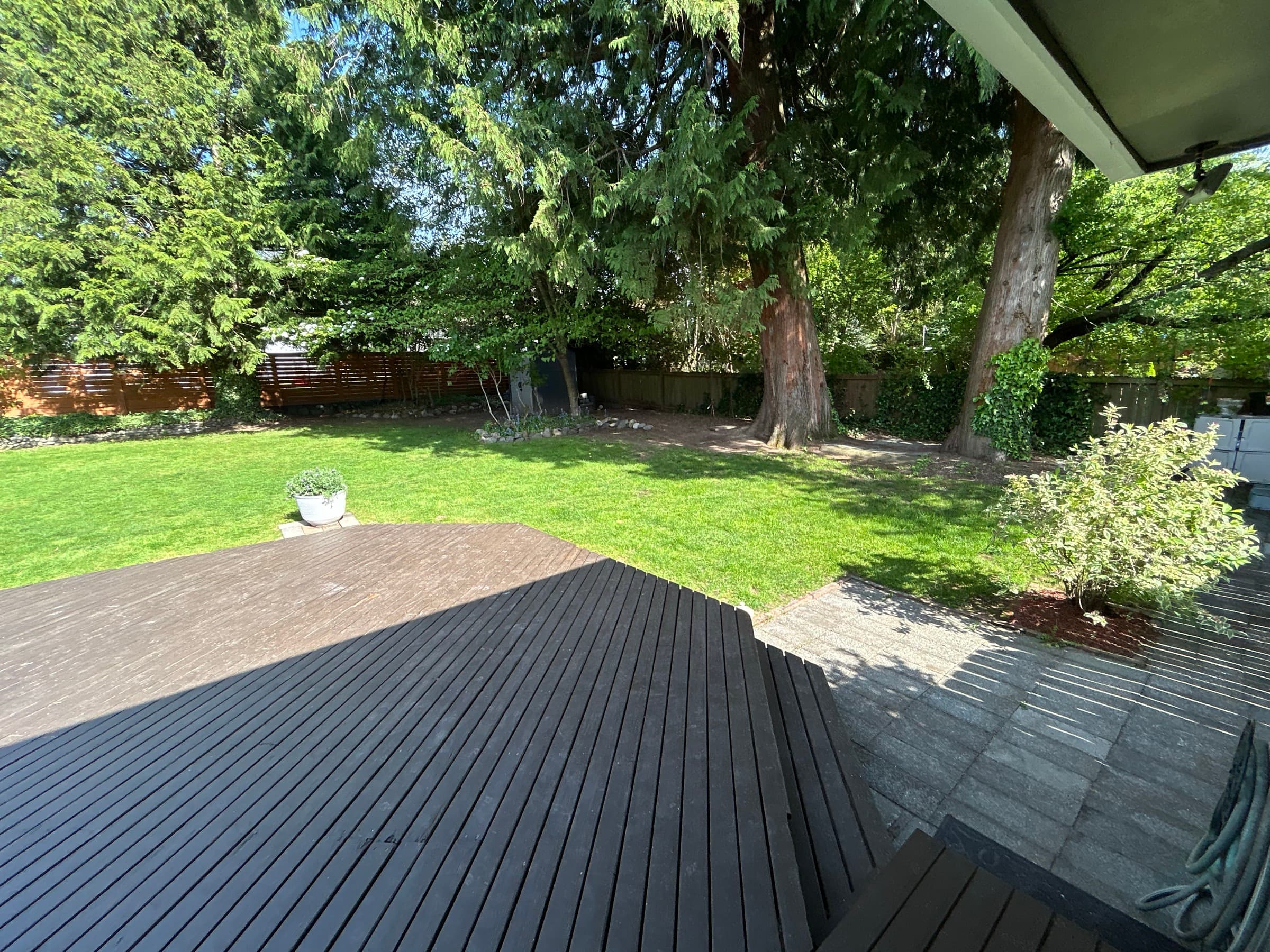
Large perimeter trees, one near each corner of the lot. Outside DADU footprints; protect during construction per SMC 25.11.
Mid-sized trees scattered along the perimeter, outside the DADU footprints. Arborist assessment recommended before excavation begins.
One mid-sized tree inside the planned DADU / driveway envelope. Confirm size class with an arborist.
Olympic Hills sits on Lawton glacial till; the lot itself is generally level. Each card below renders the parcel against one of Seattle's ten ECA layers — clear if no polygon touches the lot, flagged if it does.
No mapped 40%+ slope on this parcel. Adjacent slopes may still trigger setbacks during permit review.
No known landslide footprint touches this parcel.
Parcel is outside the City's mapped potential-slide envelope.
No mapped liquefaction susceptibility on this parcel.
No peat-settlement risk mapped on this parcel.
No flood-prone mapping on this parcel. Confirm against the latest FEMA panel.
No mapped wetlands on this parcel.
Parcel does not touch a mapped riparian corridor.
No mapped fish or wildlife habitat conservation area on this parcel.
Parcel is outside the mapped historical-landfill footprint.
Full record summary from the King County Assessor (parcel 407780-0218). Source data is authoritative — link to original record below.
Public sources used to ground the analysis above. Add more here as the project moves forward.